BOOKS
E.G. Ravenstein.
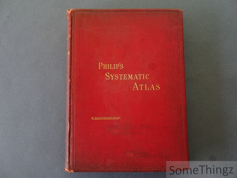
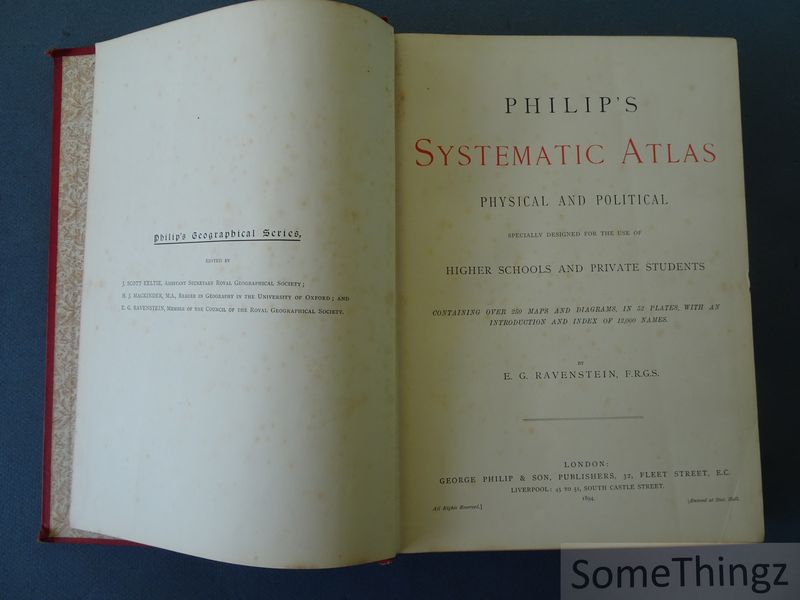
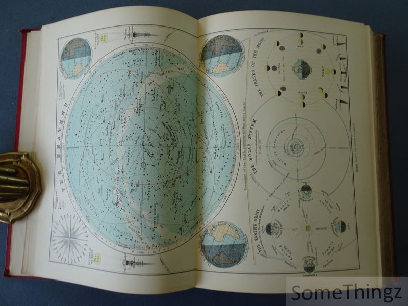
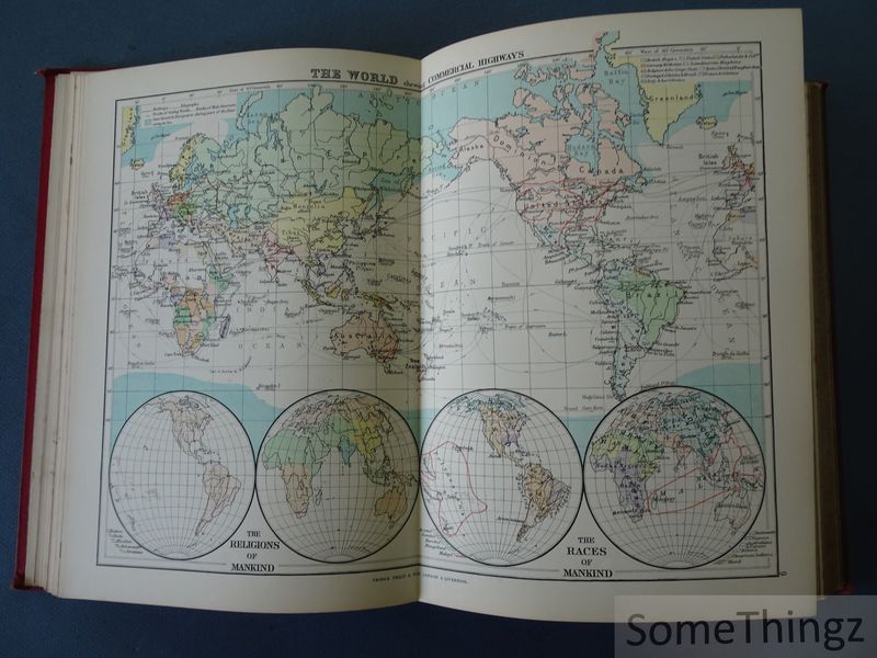
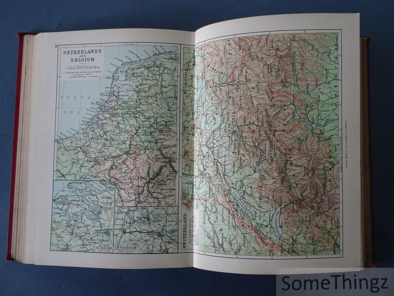
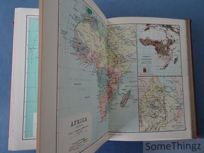
Philip's Systematic Atlas: Physical and Political. Containing over 250 maps and diagrams, in 52 plates, with an introduction and index of 12,000 names.
London, George Philip & Son, 1894.
Sold
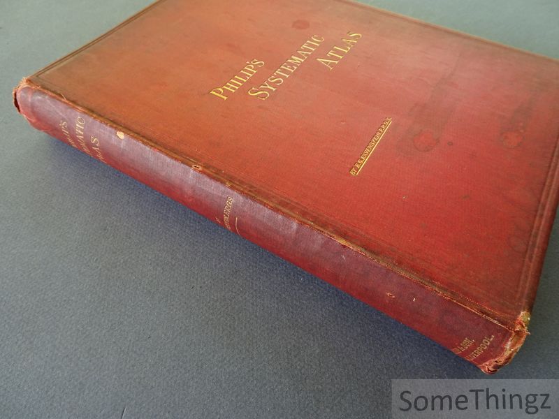
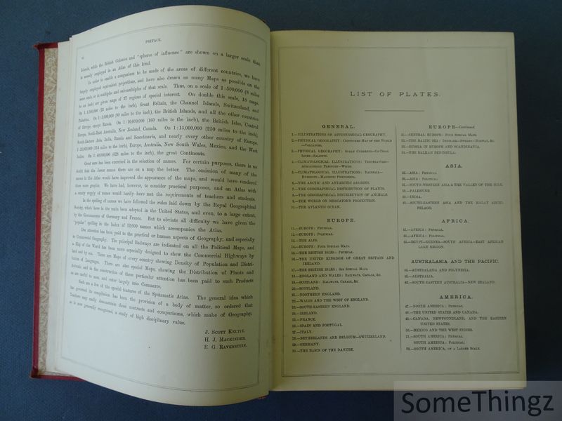
Bound, cloth with gilt title on spine and frontcover, xxiv pp., 52 plates in col., 48 pp.(index), 21x28cm., in good condition (binding with wear, spine a bit damaged on the upper and lower part, corners a bit rubbed and bumped, interior and maps in very good condition).
Philip's Systematic Atlas: Physical and Political (1894) is a landmark work in late 19th-century cartography and geographical education. Compiled by German-English geographer Ernst Georg Ravenstein, the atlas reflects the evolving understanding of global geography during the height of European colonialism and the scientific revolution in mapmaking. The atlas combines physical and political maps to depict natural landforms, climatic systems, and human territorial divisions across continents. Emphasis is placed on pedagogical clarity, with standardized color coding, metric scales, and exhaustive indices. The work served as both a classroom reference and an authoritative tool for diplomatic and academic audiences, revealing the era?s fascination with exploration, classification, and global order. Ernst Georg Ravenstein (1834-1913) was a German-born British geographer and cartographer known for his influential work in population studies and migration theory. He emigrated to England in the mid-19th century and worked for many years at the British War Office as a cartographer. He later became a fellow of the Royal Geographical Society and published several notable geographical works, including atlases and demographic studies. Ravenstein is particularly recognized for his "Laws of Migration," foundational in modern human geography. As both compiler and scientific editor of this atlas, he combined rigorous methodology with a deep understanding of global political structures. The maps in the atlas were engraved and published by George Philip & Son, a renowned publishing house in London specializing in educational maps and atlases. Their cartographic artists, while typically uncredited individually, were known for precision and elegance in presentation.

