
BOOKS
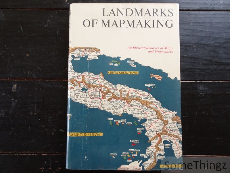
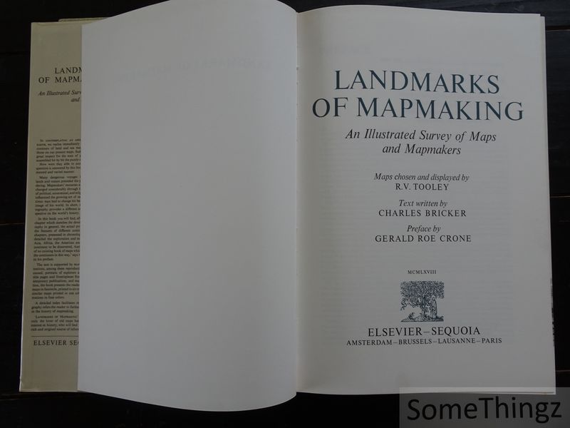
Charles Bricker, R. V. Tooley, Gerald Roe Crone (forw.).
Landmarks of Mapmaking: An Illustrated Survey of Maps and Mapmakers.
Amsterdam Brussels Lausanne Paris, Elsevier-Sequoia, 1968.

€ 17.50
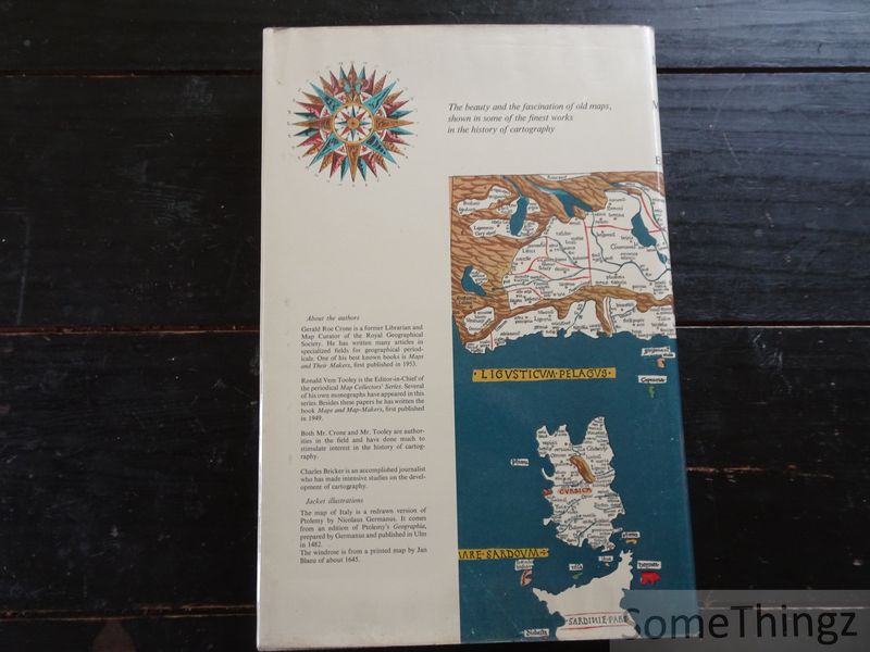
Bound, cloth with original dustjacket, 276pp., 28.5x41.5cm., more than 350 illustr. in b/w.+14 folding maps in colour, in good to very good condition (dustjacket with some traces of use, binding and inside very good).
Itemnummer 22456 
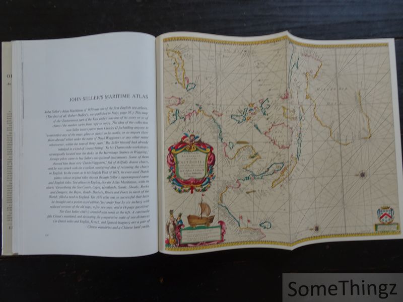
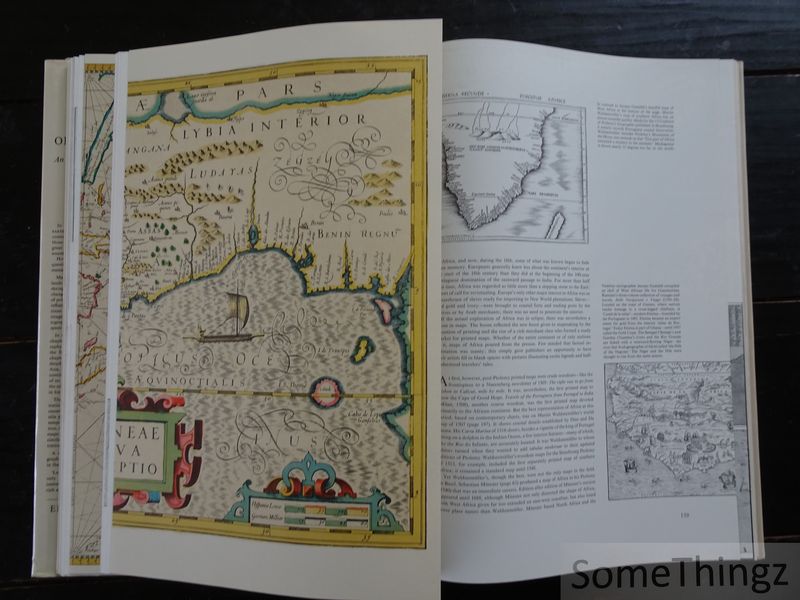
This lavishly illustrated reference work surveys the history of cartography through significant maps and the people who created them. The maps, selected and presented by R. V. Tooley, trace the development of geographical knowledge and mapmaking across the continents, including Europe, Asia, Africa, the Americas and Australia. Charles Bricker's text places these cartographic landmarks in their historical context, showing how exploration, geographical discoveries and changing perceptions of the world influenced the representation of landscapes, territories and coastlines. The reproductions include early maps and historical documents, with numerous large-format illustrations and folding maps that allow the reader to examine the detail and craftsmanship of important examples of cartographic history. The preface is by Gerald Roe Crone. (AI-generated content description)